NoCo Places
A Common Voice for Public Lands
Est. 2018 · Northern Colorado
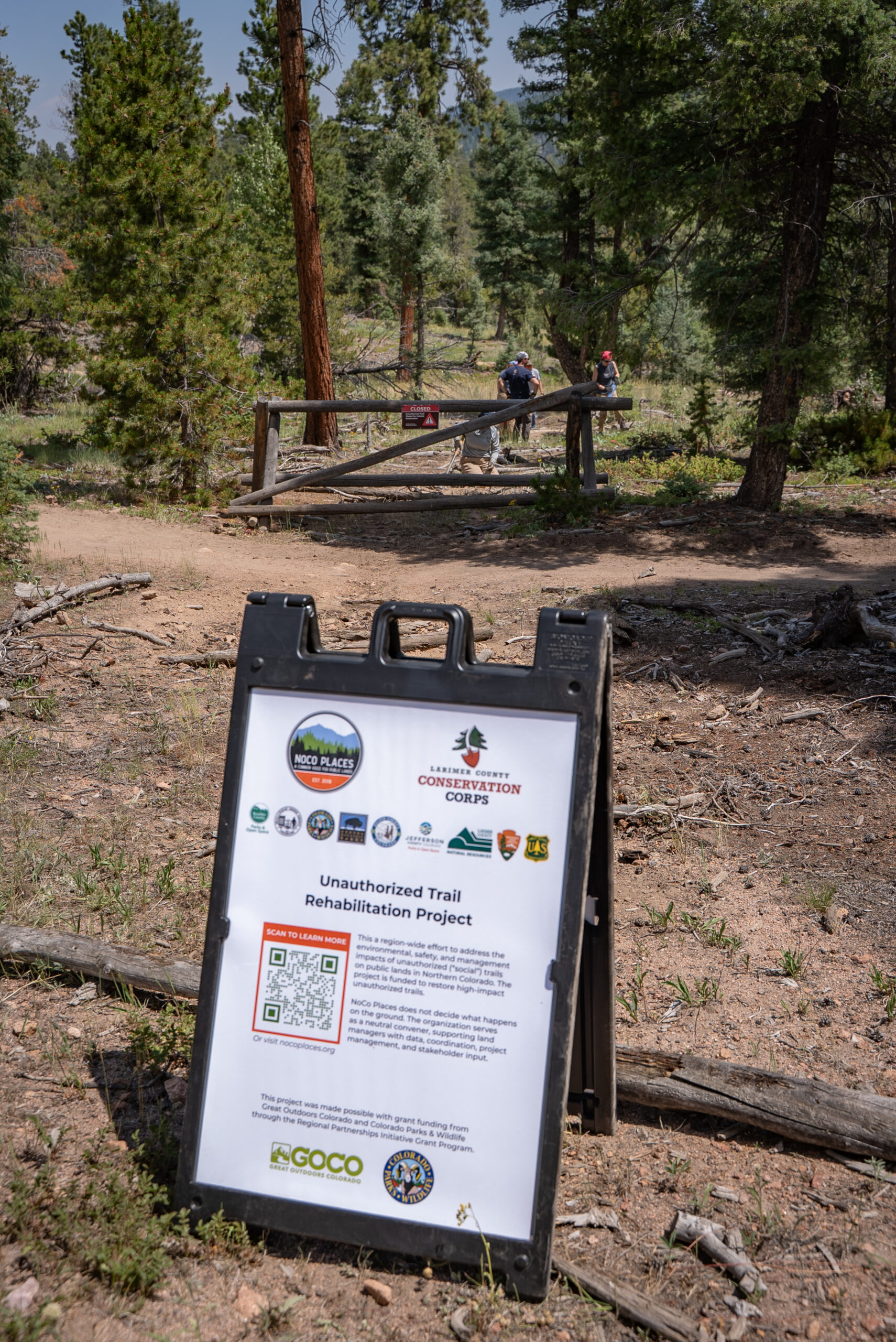
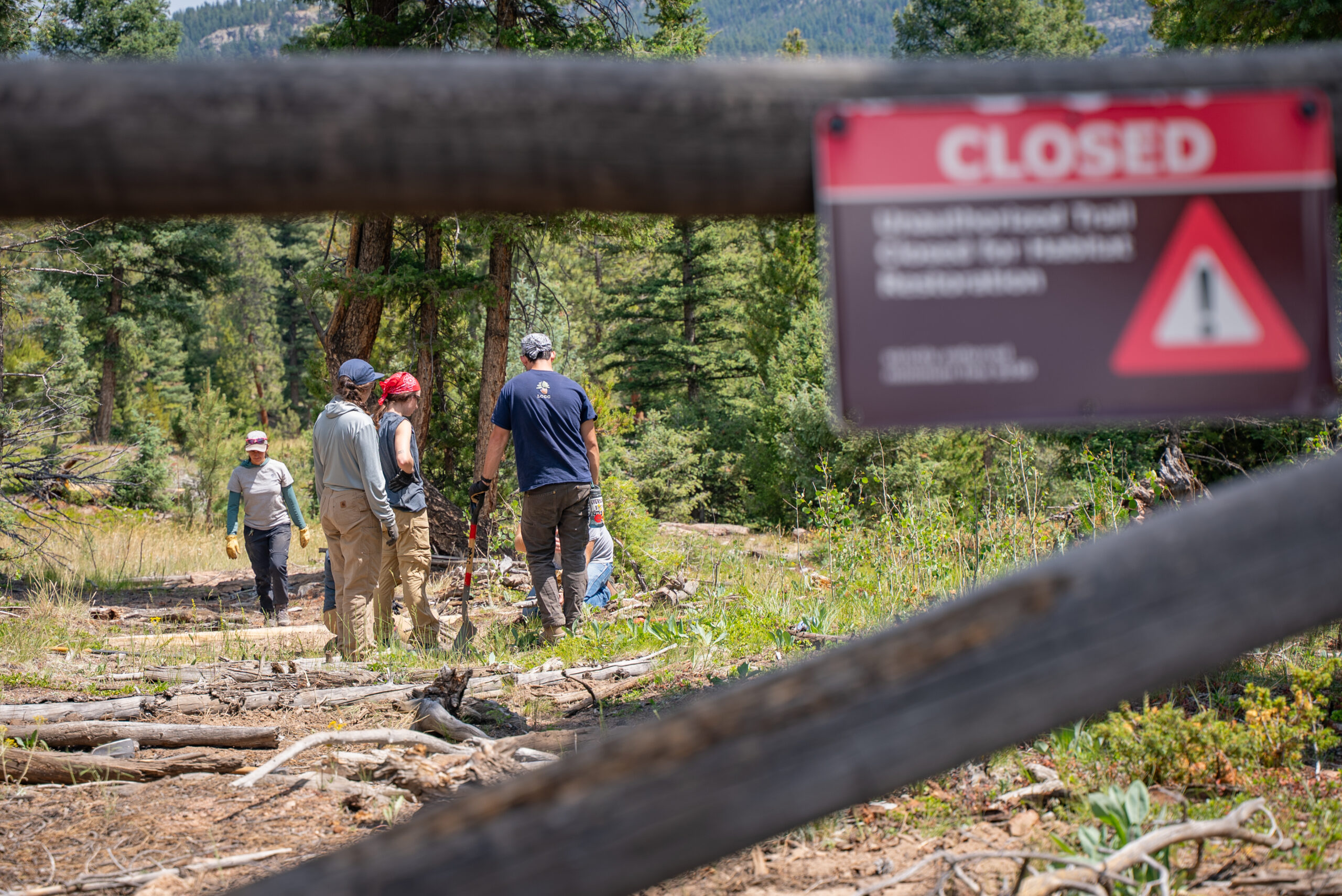
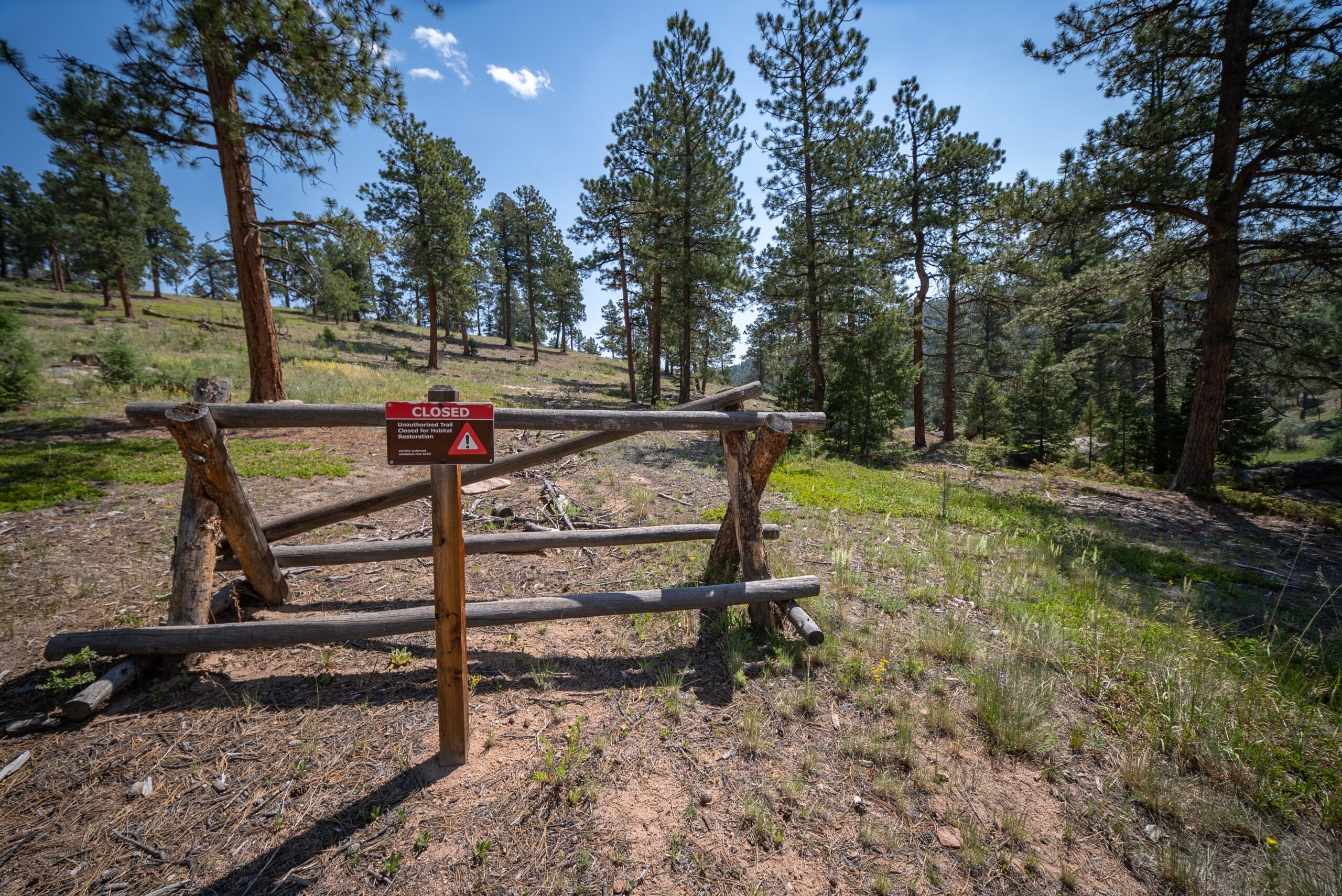
Unauthorized, or “social”, trails emerge when visitors create unplanned shortcuts or wander off designated routes, often harming sensitive habitats and causing erosion. NoCo Places is working with partners and volunteers to map, prioritize, and rehabilitate these trails across Northern Colorado. Our phased approach—from GIS scoping to field mapping and a new interactive dashboard—supports informed, equitable, and sustainable stewardship across jurisdictions.
NoCo Places is working on the next phase of the unauthorized trails project. RRC Associates developed an unauthorized trails dashboard, similar in design to the mobile phone data dashboard, which enabled NoCo land managers to view the prevalence and impacts of unauthorized trails on the NoCo landscape at a regional level.
The trail data came from existing unauthorized trails mapping that each agency had undertaken, plus the over 345 miles of unauthorized trail data collected last summer by NoCo Places. This data was overlaid with NoCo’s biodiversity mapping, allowing land managers to develop a prioritized list of actions for these identified trails. As a result of the developed criteria, trails may be rehabilitated, continue to be monitored, or, in some cases, become part of an existing trail system.
While the data NoCo has is by no means a complete picture of unauthorized trails across the region, the dashboard allows additional mapping and data collection to be added as it becomes available.
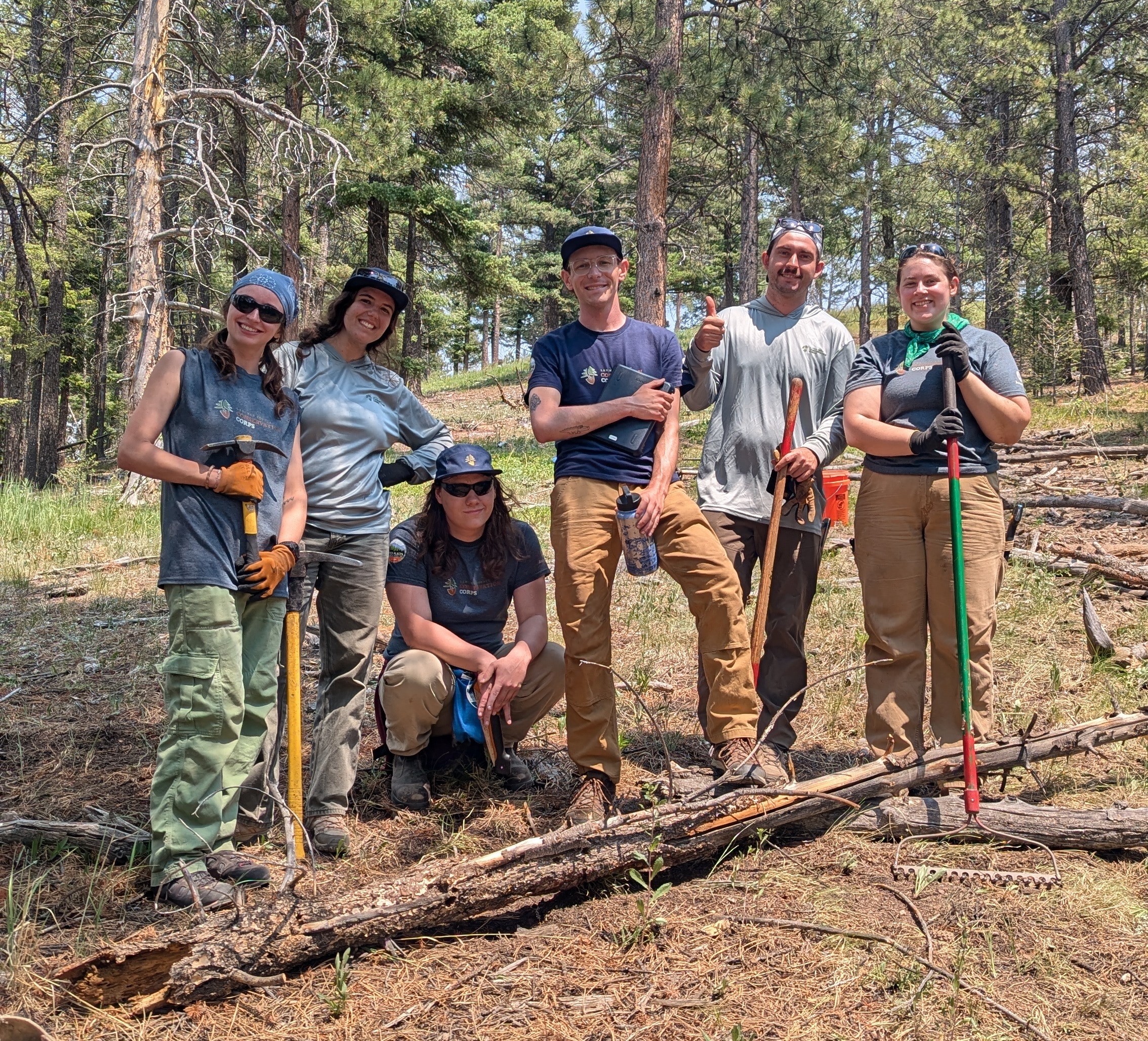
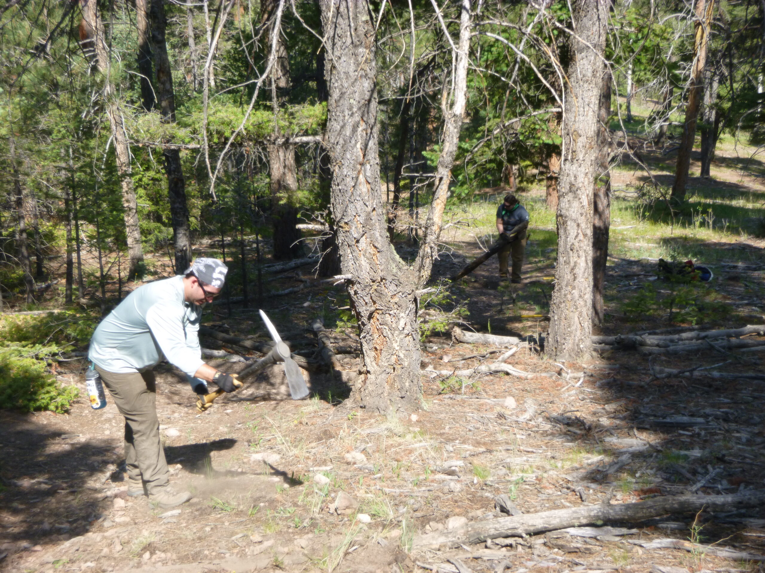
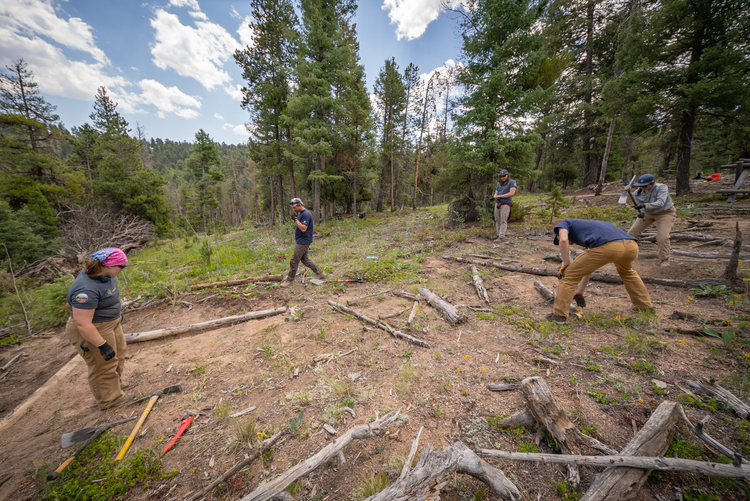
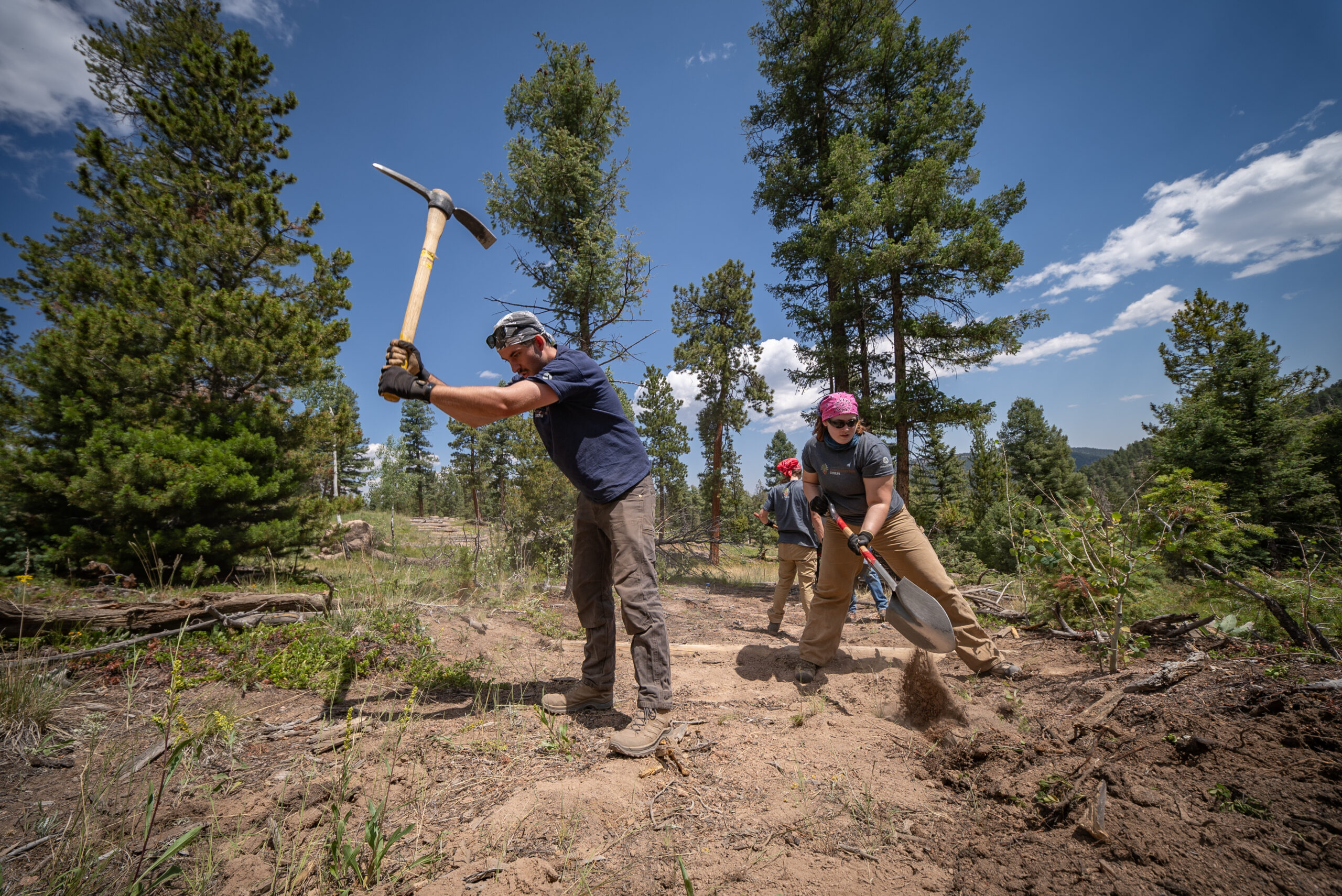
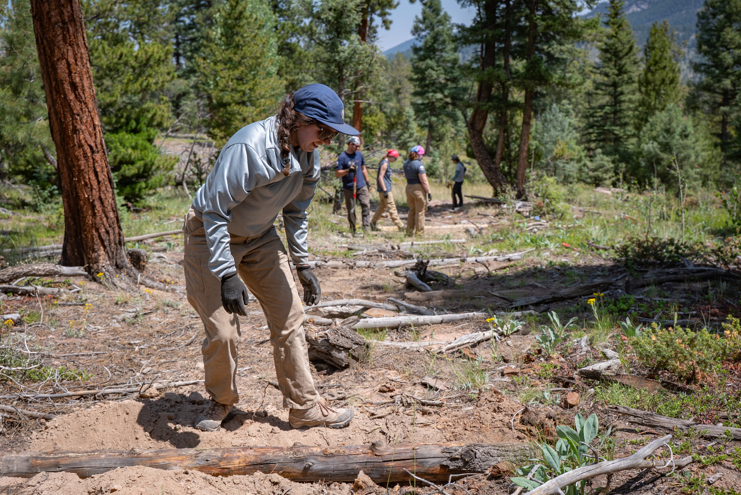
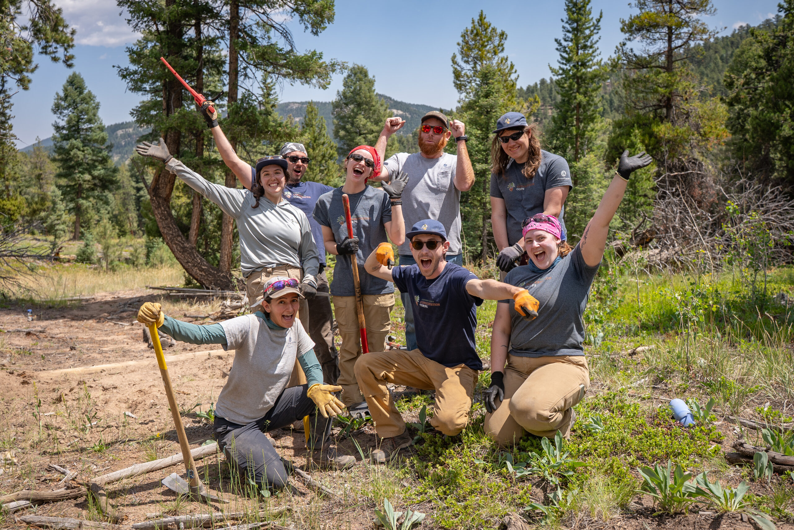
Larimer County Conservation Corps Trail Crew
NoCo Places is partnering with the Larimer County Conservation Corps on the trail restoration this summer and fall. Work began on June 22, 2026, and will continue into October.
Read the latest blog post on the project.
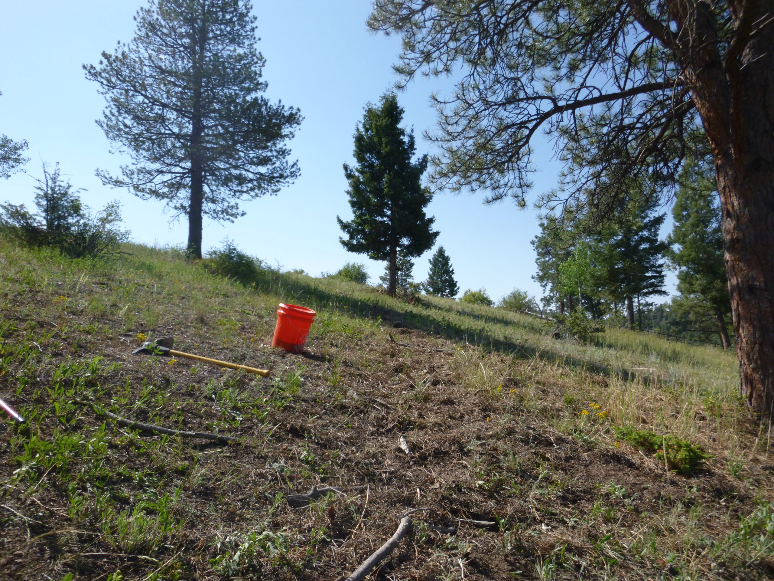
Site 1: Beaver Ranch Park, Jefferson County Parks & Open Space, June 22 – July 2
Work Completed: The crew focused on restoring unauthorized trails which were causing erosion and drainage issues by replacing lost material and covering routes with forest debris. The crew completed about 1 mile worth of trail restoration throughout the park which has greatly reduced habitat fragmentation and added to the buffer zones for wildlife from visitor use. They completed 0.5 miles of trail restoration and closure.
Site 2: Between the Four Mile Link Trail and the Betasso Preserve Trailhead, Boulder County Parks & Open Space, July 6 – 24
Work Completed: updates coming soon.
Photo Credits for Jefferson County site: Anne Ludolph, and Grady Hall
Please check back soon for our continued progress on this project or contact us with any questions.
Certified Non-profit Organization
Your donation supports multi-jurisdictional coordination on Colorado’s public lands.
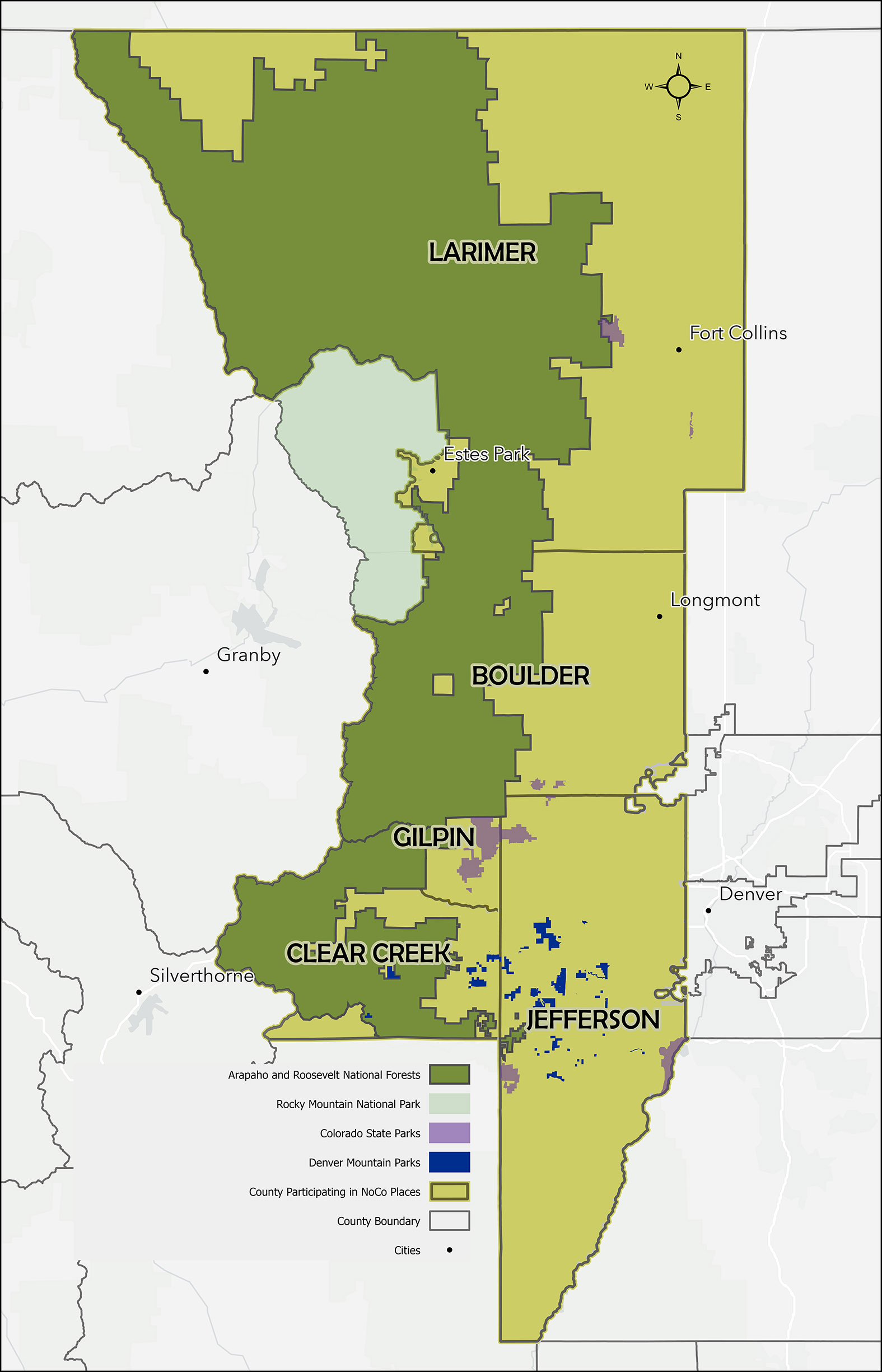
The NoCo Places region covers five counties in Northern Colorado.
Placeholder