Interactive Map Offers Alternatives in the Region
NoCo Places has created a new digital tool to share land stewardship tips with new visitors and to provide alternative locations when areas are busy. The agencies that make up NoCo Places want public lands visitors to know and understand the unique conditions they might find in Colorado, and how they can enjoy the outdoors while leaving it as they found it for the next person.
With summer just around the corner, it’s helpful for visitors to know alternatives when their desired outdoor recreation destination is full or booked. For example, Rocky Mountain National Park begins its timed entry reservation system on May 24, some state parks reach capacity by 9 a.m., and smaller county parks closer to the Denver Metro area often have full parking lots all day long. Visitors to the region can save time and frustration by knowing options and alternative places to visit.
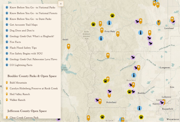
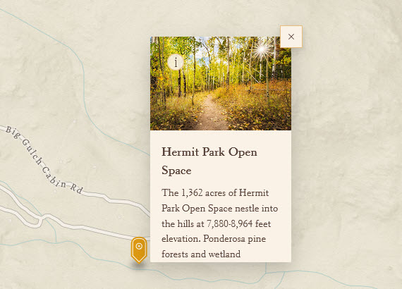
The new digital tool is an interactive map from NoCo Places that provides a view of selected public lands in the region, key information about those areas, and links to the official information page of the managing agency. In addition, the map has stewardship best practices and explanations for why visitors are asked to engage in certain behaviors, as well as interesting facts about Colorado flora, fauna, and geology. The map is available in both English and Spanish.


