 2024 Project Overview
Phase 1: Background Research and Scoping
- GIS Basemap creation
- Hotspot prioritization for each entity
- Online research: resulted in 203 possible locations for unauthorized trails
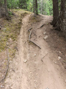
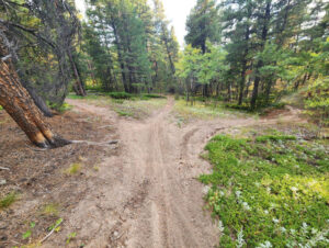
- Field Research: visiting locations in the field for possible unauthorized trails
Phase 2: Trail assessment and Mapping Inventory
- GPSed unauthorized trails/roads to create inventory of linear features/miles with select attributes assigned
- GPSed georeferenced photos/waypoints of unique identifiers
Phase 3: Compiling the Data
- Data formatting and edits
- Provide spatial inventory of unauthorized trail/roads as linear and point features in format compatible with GIS systems (shapefile)
- Provide georeferenced photos to as unique identifiers to illustrate what is occurring
 Methodology to Research Unauthorized Trails
- Publicly available basemaps and data layers
- Social platforms that collect user data
- Field visits
Current Work
NoCo Places is working on the next phase of the unauthorized trails project. The coalition is working with RRC Associates to develop an unauthorized trails dashboard. Similar in design to the mobile phone data dashboard, this resource will enable NoCo land managers to
view the prevalence and impacts of unauthorized trails on the NoCo landscape at a regional level.
The trail data comes from existing unauthorized trails mapping that each agency had undertaken, plus the over 345 miles of unauthorized trail data collected last summer by NoCo Places. This data will be overlaid with NoCo’s biodiversity mapping, allowing land managers to develop a prioritized list of actions for these identified trails. As a result of the developed criteria, trails may be rehabilitated, continue to be monitored, or, in some cases, become part of an existing trails
system.
While the data NoCo has is by no means a complete picture of unauthorized trails across the region, the dashboard allows additional mapping and data collection to be added as it becomes available.
Upcoming Work
Please check back soon for our continued progress on this project or contact us with any questions.